Another childcare project completed, proud to have been part of it 🎉 Concept Engineers was pleased to contribute to the amended DA, detailed design and delivery of this new early learning centre at 446 Gympie Road, Strathpine. It is always rewarding to see a quality project come together and reach completion, especially one that will serve local families and the wider community. Congratulations to the entire project team on delivering a great outcome !
Stories & News
Practical engineering knowledge and project stories for developers, builders, and project managers.
Latest updates
Another project moving into On-Maintenance 📑✨ Our Margate townhouse development is looking sharp and shows the finish product, including the road widening we've delivered.
A quick example from our recent SLAM LiDAR scanner work. 🏔️ This was only a 7 minute scan, with some basic workflow applied afterwards, but it already shows the value of having this type of capture available early in a project. The real benefit is not just the scan itself. It is what we can do with the information after capture. From here, we can start to understand the site, pick up key constraints, coordinate the existing environment, and then use that context to support civil design and ultimately produce practical plans. For complex sites like national parks, steep terrain, constrained access areas, existing built assets, vegetation, paths, walls and drainage features, this type of visual information can make the design process much clearer. It does not replace traditional survey. It helps us lead the early digital model process and gives clients, agencies and project teams a much better way to see the site, understand the constraints, and make informed decisions earlier. We are excited to keep developing this workflow and explore how it can support better planning, design coordination and project outcomes.
CIVIL BIM fly-through showcasing true civil modelled surfaces, services & pre-cast tanks. This video shows how civil design can be coordinated using civil designed elements (Detention Tanks, Stormwater, Sewer & Modelled Surfaces) and IFC building model integration. We can also layer in hydraulic services for more complete clash detection across disciplines. The next step is incorporating point cloud data to better coordinate surrounding interfaces and existing site conditions. This level of coordination is common in architecture and building services, but still uncommon in civil engineering. At Concept Engineers, it is something we are continuing to push further as we develop and improve our workflows. It gives the project team a clearer view of how the civil design fits with the building, services and site constraints. Developer: OneFin Builder: Hutchinson Builders Architect: Raunik Design Group Architects Great to see this project now built, and even better to see how closely the model reflects the finished outcome.
Concept Engineers 2nd Year Anniversary. Bali Retreat 🌴 ✈️ Over the past two years, we have continued to grow, strengthen our team, and build a business around good people, strong relationships, and quality work. What we are building is about more than just projects. It is about having the right people around us, creating a strong culture, and staying aligned as we continue to grow. Our first two years have been about laying a strong foundation. This year, we are focused on building on that momentum and continuing to expand. Proud of the team and excited for what is ahead. #ConceptEngineers #BaliRetreat #2ndAnniversary #TeamCulture #Engineering
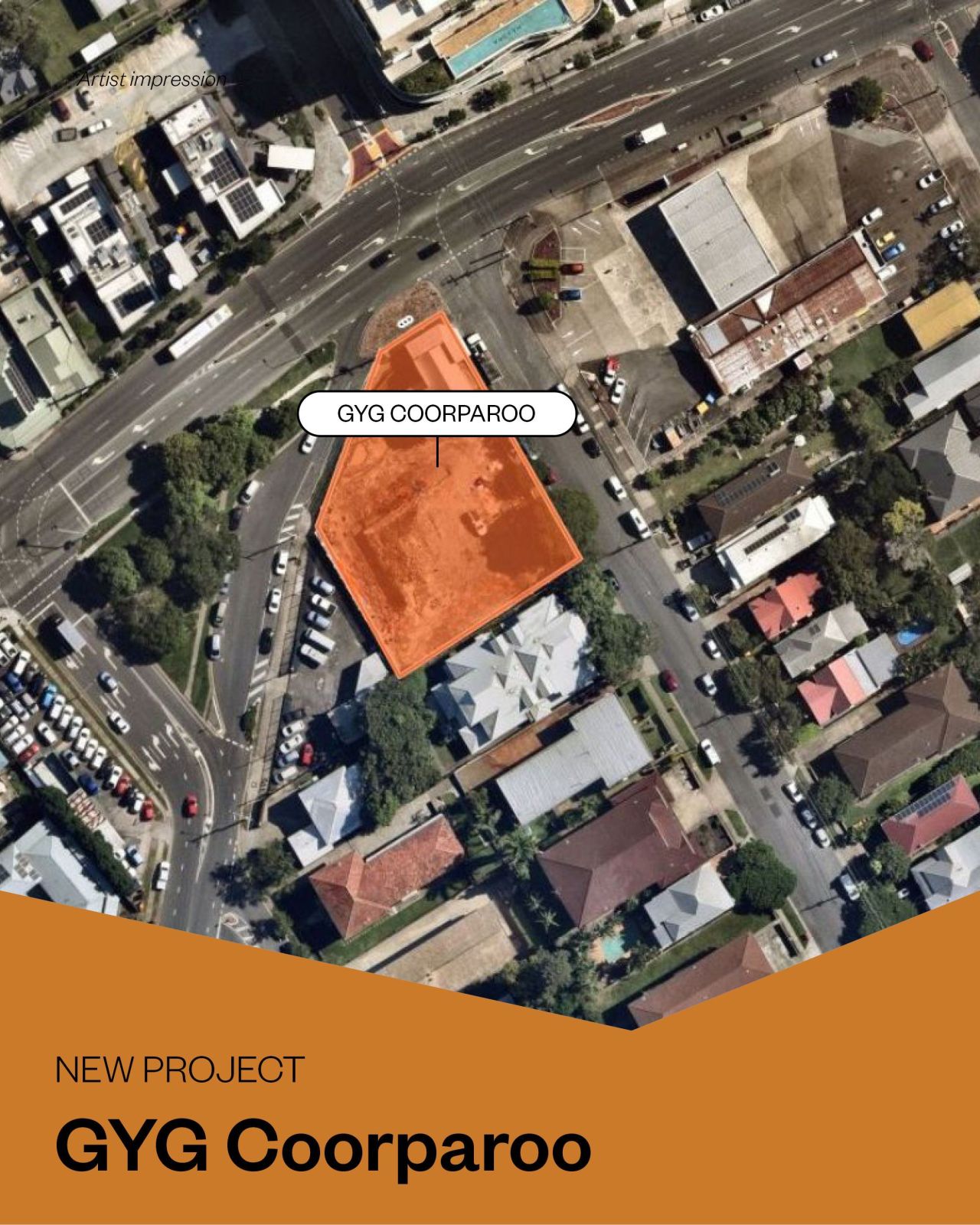
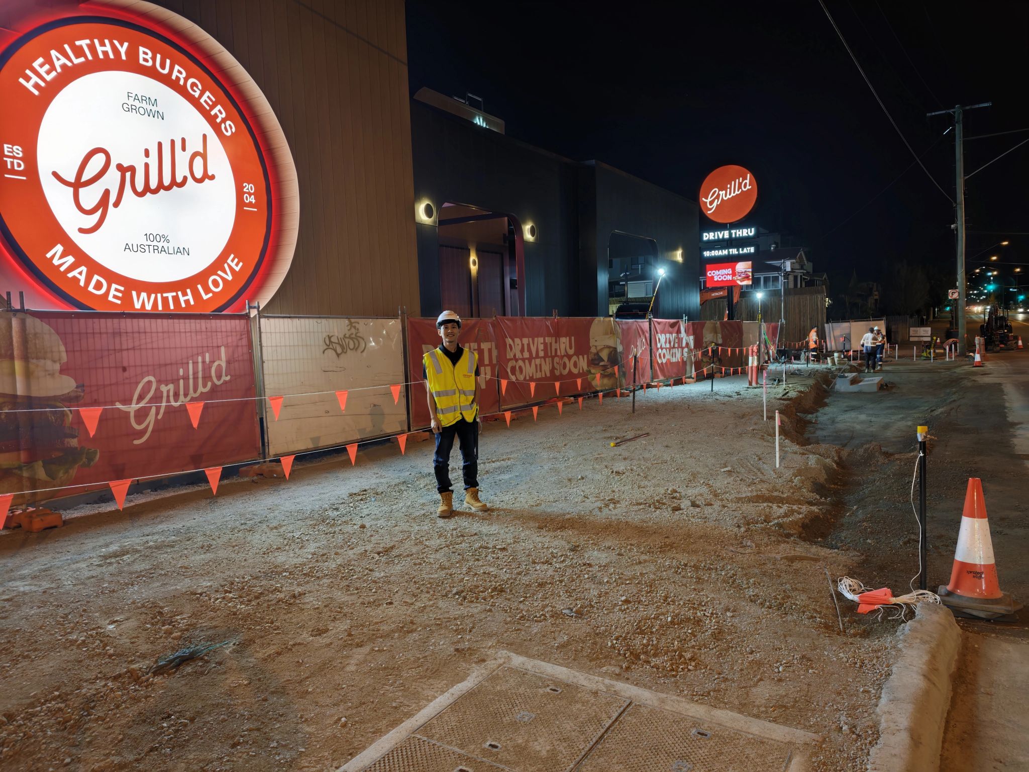
Concept Engineers is proud to share a progress update from the Guzman y Gomez project at Baringa! 🌮 We're proud to be sharing another GYG development. Concept is involved in the civil design and construction support for the Proposed GYG Baringa Development at Baringa. With pre pour inspections now underway for the carpark and drive through areas, the project is continuing to move ahead well on site. Looking forward to seeing this one progress through the next stages of construction. We are thrilled to be a continuing partner for GYG's throughout SEQ, and look forward to their growing expansion in bringing fresh, authentic Mexican fast food to the heart of various local communities.
Progress on site for our large subdivision in Mackay 🏗️ Installation of twin 2.4m precast box culverts with a reinforced concrete link slab, forming a key drainage crossing for the entry into this development. Great to see major infrastructure taking shape early in the program.
We have recently invested in our own SLAM LiDAR scanner and GNSS rover, which has opened up some really interesting conversations around how this technology can support better project outcomes 🏔️ 🚶♂️➡️ ✨ We have been speaking with various government departments & agencies about its application, particularly in complex environments such as national parks, where assets, terrain, vegetation, access constraints and existing infrastructure can all be difficult to capture, understand and coordinate; including our built environment. For us, the value is not about replacing traditional survey. It is about leading the digital model process and using the available data to better understand intricate sites, coordinate design decisions earlier, and provide practical design based solutions with strong visual context. This becomes especially useful where stakeholders need to clearly see what is being proposed, how it interacts with the existing environment, and where potential conflicts or opportunities may exist. By combining LiDAR capture, rover data, civil design input and visual modelling, we can help bridge the gap between survey, design and real world site constraints. We are excited to keep exploring how this can improve planning, design coordination and decision making across sensitive and complex sites. We hope you enjoy this example we've prepared.

5 Ways to Save on Earthworks Costs for Your Subdivision
Earthworks are typically the single largest civil cost in a residential subdivision. Here are five engineering strategies to reduce them.

WSUD: What Developers Need to Know in 2025
Water Sensitive Urban Design requirements are tightening across Queensland. Here's what's changed and how to design for it.

How BIM is Transforming Civil Engineering in Queensland
Building Information Modelling is no longer just for vertical construction. Here's how we're applying BIM to civil infrastructure.